
PerchPoints / Case study
Find places to photograph and plan a visit.
Browse places on a map, see photos, and find information for planning a visit.
Visit the live website ↗- Discipline
- Website design / Maps & search
- Project
- A Mr. Crowmeister project; built and cared for by Raven Rendering.
- Year
- 2026
The starting point
Put photos and visiting details beside the map.
PerchPoints lets visitors see photos of a place, find it on a map, and read details about visiting. I built the site so people can browse possible stops and plan photography trips without switching between separate photo galleries and maps.
My role Planned the features, organized the location information, designed and built the website, and maintain it.
Inside the work
How I designed the site.
Keep place and photograph connected.
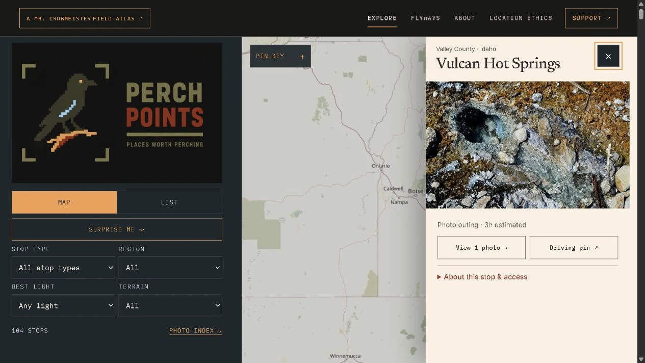
Click a stop to see its photos, estimated outing time, and information links beside the map. The map stays visible while you read.
Browse by map or list.
Visitors can browse the map or scan a list of stops. Filters narrow the results by type of stop, region, light, and terrain.
Explain what the location information means.
Each stop has room for access notes and information about how certain its location is. This helps visitors understand what a map pin tells them and what they still need to check before a trip.
Designed for smaller screens
Maps and photos on a phone.
On a phone, the filters, map, and selected stop stack vertically. Visitors can scroll from the map to the photos and details rather than squeeze three columns onto a small screen.
Explore PerchPoints ↗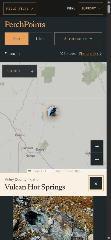
The finished work
A website with a job to do.
Visitors can find a stop, look through its photos, read visiting information, and explore road-trip plans. New places and photos use the same layout, so they can be added without redesigning the site.
Explore specialized website projects ↗